Trail Review: Jack Creek Trail to Meadow Creek
June 12, 2026
version 1.0
Jack Creek: where is it?
Jack Creek is reached by turning south onto Icicle River Road at the traffic circle on Highway 2 at the west edge of the town of Leavenworth. Follow Icicle Road for 15.5 miles to Rock Island Campground. Continue across the bridge. In a few hundred feet take the next road fork to the left. Continue about 1/4 mile to find the trailhead access road on the right. There is a sanitary facility, a minimal picnic site, and a loop with plenty of parking. It is typical to find nobody else there.
Overview
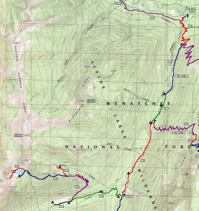
Map, Jack Creek to Meadow Creek
The Jack Creek trail is an access trail that branches off to a number of other trails in the eastern part of the Alpine Lakes Wilderness, mercifully outside of the Enchantments area chaos. A National Forest recreation pass is required. Self register at the trailhead. Though intended as a horsie trail, horse traffic is relatively light. The mild grade and firm dry soils withstand the heavy stomping of the beasts well. The trail has a deserved reputation for being "hot and dry" but temperatures moderate as you move into the forest and gain elevation. This trail is accessible for hikers of all ages; just go as far as you want, and turn back when you've gone far enough. While it is an easy and pleasant trip, the lack of spectacular features helps to keep this trail relatively obscure. The further you go, the better and more challenging it gets. Branch trails can take you to Trout Lake, Meadow Creek meadows, and even beyond to Stuart Pass.
Distances:
- To Jack Ridge views: 3.8 mi
- To creek-side camp: 3.5 mi
- To Jack Creek Ford: 5.4 mi
- To Stuart Pass: 11.4 mi
The lower trail
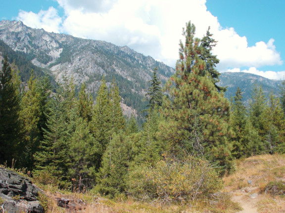
Lower Jack Creek Trail
The trail start generally south on some minor dry hills, through sparse and mixed pines. At 1/4 mile, pass high over Jack Creek on a sturdy bridge. At 1/2 mile, enter the Alpine Lakes Wilderness and begin a slow ascent, on easy switchbacks. The air becomes gradually cooler, and the trees gradually thicker. This first 1.6 miles is relatively new, built in the 1960's to replace the original trail devastated during the mad rush to gut trees from lower Trout Creek area prior to establishing the Alpine Lakes Wilderness.
After gaining about 650 feet, the trail reaches a major junction. This is roughly where the rebuilt trail rejoins the original route of the Jack Creek trail. Here is a choice. Going left, and continuing the pattern of easy switchbacks, you can head up toward Trout Lake, reaching some high views in 2.2 more miles, or a partly-burned camp beside the lake in 4.2 more miles.
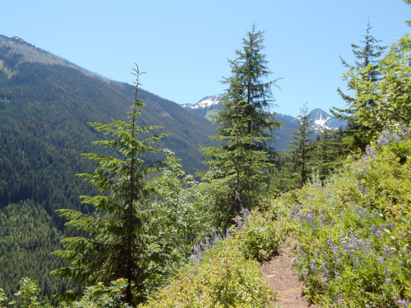
Trout Lake Trail
Instead, taking the right fork and staying on the Jack Creek trail, the mild uphill grade soon relaxes. In 1.9 almost-level miles, arrive at a hardened, somewhat bumpy camp under the trees, a nice location for a lunch, and possibly a good place to turn back for the day. The creek is accessible to filter some fresh water. Adventurers can also find the obscure junction to the Jack Ridge trail here, for a wild trip over the top to Trout Lake. While that trail is actually quite attractive, maintenance has been neglected for almost three decades, and fallen trees every 150 feet or so make progress very slow.
The middle section
If you are a backpacker-camper, you will want to continue along the level and increasingly pretty course. It is 1.3 more miles to an ample but rarely used camp site along the creek, or continue 0.5 more miles to reach another trail junction. Take the right branch a couple hundred yards to a pretty and gentle ford of Jack Creek. Back behind the obvious rough camp at the ford, you can find a somewhat larger and nicer camp.
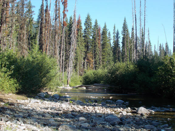
Ford of Jack Creek
To continue on, cross at Jack Creek, ankle deep and very comfortable. 0.8 miles from Jack Creek, reach another ford across smaller but less friendly Meadow Creek. Pass a large camp and continue 0.7 miles to reach the meadows. The featured horse camps are at the near edge of the meadows; acceptable primitive camps can be improvised at the far end of the meadow somewhat uphill from where the scant trail reenters light forest.
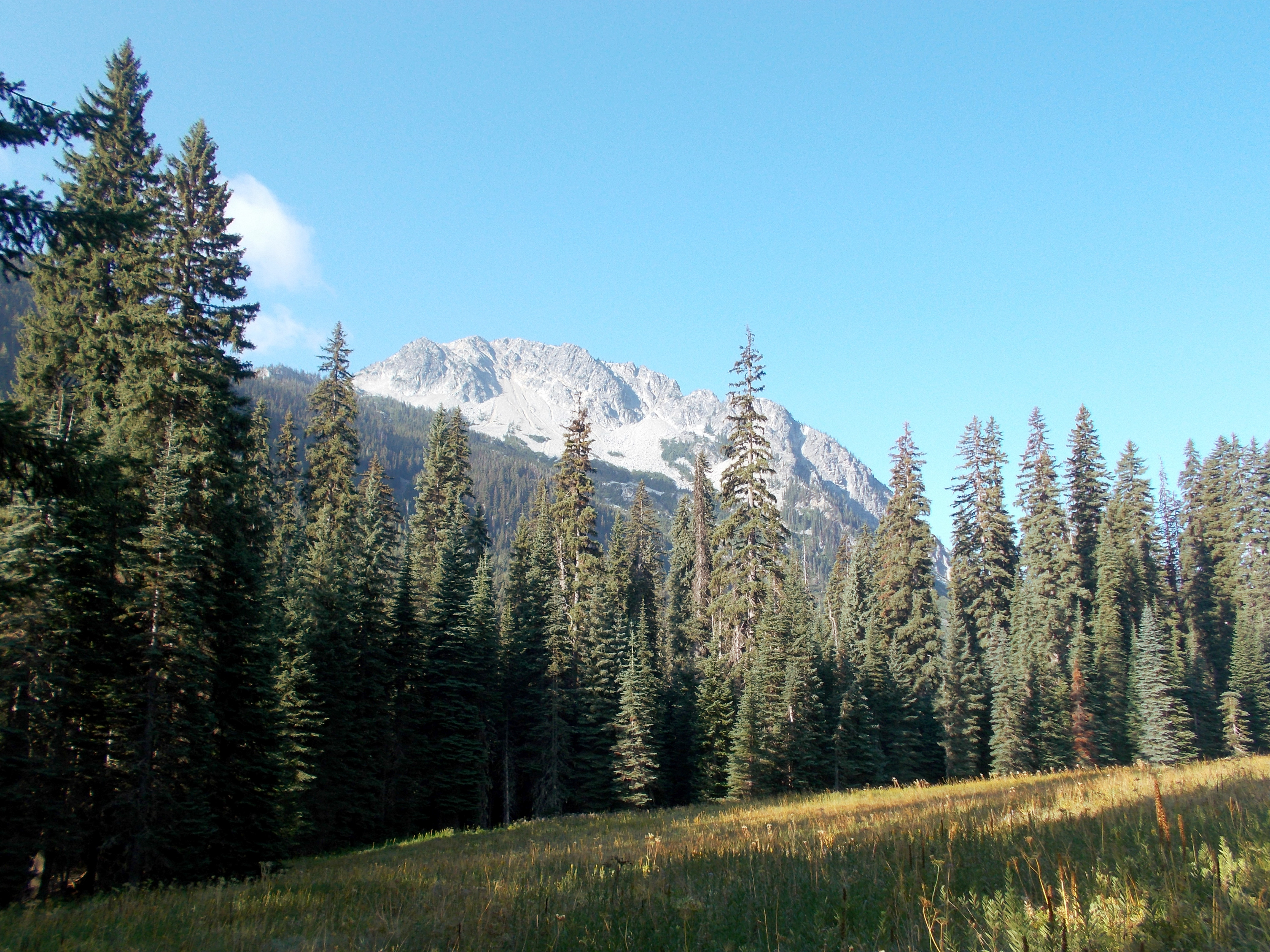
Mt. Harding and meadows at Meadow Creek
The Meadow Creek trail continues to climb up the valley and on to French Creek, but unfortunately, most of it is thick with brush after decades of neglect.
Extended trips
A 3-mile trail climbs steeply from the east edge of the Meadows up to Cradle Lake. It should be a difficult but rewarding trip, but horses have chopped the upper half of the trail until the footing is difficult if not treacherous. The lake is in a pretty setting, with a rerouted trail circling above the north side to superb views of the unusual red rock slopes of Cradle Mountain.
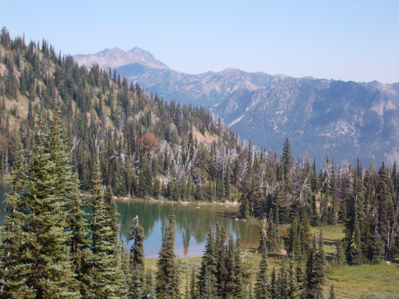
View from pass above Cradle Lake
Since camping options are extremely limited at the lake, a good alternative is at mile 1.5, about halfway along the ascent. A side trail descends gently 0.4 miles NW to the upper regions of Pablo Creek. Find ample fresh water, a few curious deer, and excellent primitive camping here. This was the Forest Service's designated appeasement for the horse lobby after closing the environmentally devastated Cradle Lake shoreline. There is no sign that any horse found its way to Pablo Creek, ever. Past Pablo Creek is the legendary Blackjack Ridge trail — is there actually a trail or was it only my imagination? Maybe my most terrifying trip ever.
After bypassing the ford and continuing south along Jack Creek 2.1 miles, you might find another ford and connections to the abandoned Solomon Creek / Van Eps Creek mining trails. I don't know their status after they were caught in the edge of the Jack Ridge Fire. Continuing straight ahead along Jack Creek, about 1.8 miles through fire damage, reach the upper Jack Creek basin with access to Stuart Pass. You are in some serious wilderness here.